Yesterday I was endlessly waiting for a support number to get my call and I decided to draw a map of Great Britain on a piece of paper.
It’s funny how maps stored in my memory are often quite different from reality - even those of areas I’m very familiar with like Europe. They tend to remind a bit of real ancient ones, where proportions are usually odd.
I’ve known where Wales was since I was about 8, but I really never paid too much attention to its surface compared to England and Scotland. At least not since my last geography test in high school, I guess!
So, in my map Wales turned out to be about half the size of Scotland and it looks like it would include Birmingham as well.
It was quite shocking to realize it’s actually even smaller than the region I live in (Piedmont) and its entire population almost the same as just the city of Rome.
Just wanted to confess my ignorance, and share a laugh about my map of Great Britain!
Well, I’m from Birmingham, and Birmingham takes its water supply from Wales (which is one reason I give for always having been interested in Wales), so I can tell you that you’re not totally wrong there…
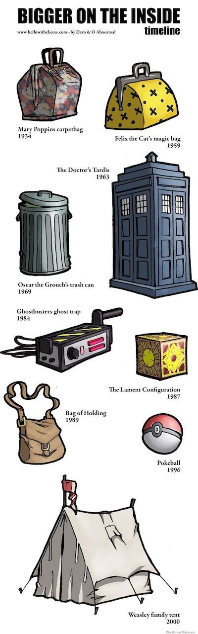
I’ve never been to Wales, but I’ve been told Wales is ALWAYS bigger on the inside than on the outside. That’s a good philosophical statement to ponder on a Friday
DW filmed in Caerdydd…yup, that is 1 of 2 things I knew about Wales prior to studying the language. The other was I could physically find Wales on a map, but I had no idea how MUCH BIGGER it is on the inside and I haven’t been there yet.
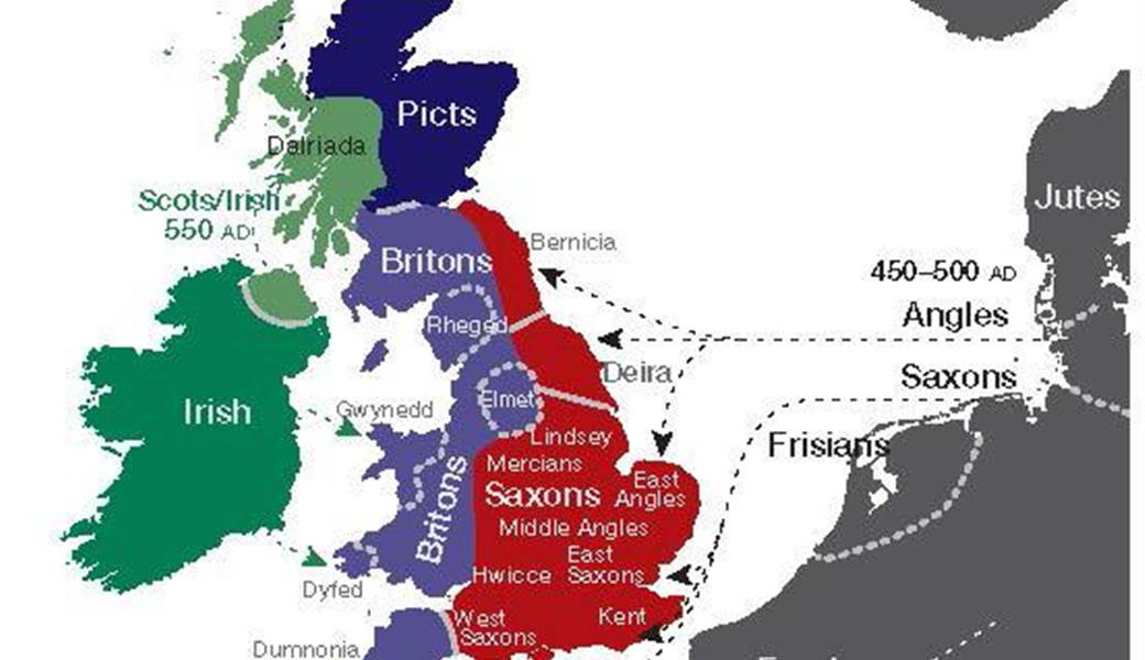
These early maps are all open to interpretation. Archaeologists and historians dispute this stuff endlessly nowadays. @JohnYoung’s map is very generous to the Welsh; here’s another, put together by geneticists, which is very generous to the Anglo-Saxons:
Yes, I’m guessing that Aberdeen is Pictish. I’m sure that you are correct with Wight and Dover. Possibly before or after the Roman Era. I think that all of present day Britain would have been Celtic at one time.
Well whatever pictish was and wherever it was the name Aberdeen is obviously British / Welsh - Aber and Dun for a fort. If Pictish had the same words for the place then they obviously talked the same language.
I do still wonder about Basque though - was it spoken on these isles once upon a time? .